I don’t usually think of technology and the Internet in the context of environmental/sustainability/conservation/preservation/responsibility. That’s my bad. New software, specifically crowdsourcing software, will undoubtedly lead to major breakthroughs in scientific research and the way we look at and conserve our planet.
This weekend I began to work with iNaturalist, a joint initiative of the California Academy of Sciences and the National Geographic Society. The iNaturalist website defines itself as “an online social network of people sharing biodiversity information to help each other learn about nature.”
At first I thought of it as just another tool, but it is so much more. Here’s how iNaturalist works. After downloading the app (you can also use the website iNaturalist.org), you snap a picture of a plant or animal and upload it. If you know the species name, you can enter it. If not, you are given several species choices based on picture recognition. From those choices you can pick which species most closely resembles the image and enter the identified picture into the system. If you have entered incorrectly, or are not sure, others out in the iNaturalist world will correct or offer suggestions for more accurate identification.
But wait! There is more! The longitude and latitude where the image was taken is entered into the system automatically. It is then broadcast onto a worldwide map, where anyone and everyone who signs up (for free) can see your picture. Users can also opine on rarer species or mislabeled species. And believe it or not, people are volunteering to review other’s photos all the time. You can even ask the world for help. It is environmental crowdsourcing.
And that is not all. Users can create their own “community.” One can, for example, create a community for all eagle lovers. Any time an eagle is posted, it will populate this “community.” People from around the globe, or in a very finite geographic area, can track eagles, study their whereabouts, colors, etc… Most important, a scientist or amateur naturalist can see what others are posting. You can comment, send advice, create a dialogue, or simply add sightings to whatever database you are working on.
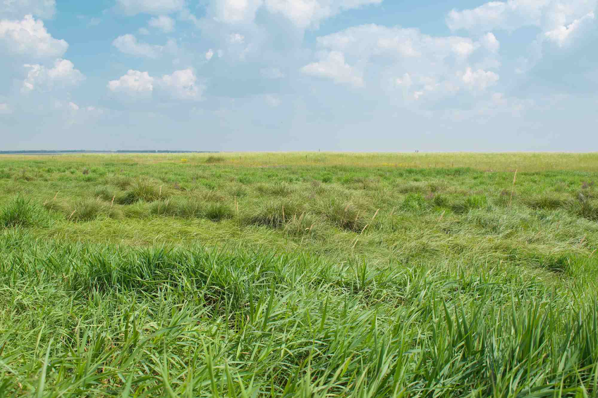
But wait! There is even more! Free of charge, you can create your own “community” and keep the contents private. A community organizer (called curator) invites chosen people to participate. At Coal Creek Farm, the Southeast Grassland Initiative is beginning a year long audit of all the flora and fauna on the property. Scientists, graduate students, guests, and children sign in to the community. Once approved by the curator, they are a part of the community and begin to help map out various species by pointing and clicking. It’s actually that easy. The kids love it, and the scientists are thrilled for all of the extra hands. Each data point appears on a map, and when you press the location marker, the photos and all the information with it appears. You do need Internet reception in order for the all of the tools to function properly. As the project matures, sorting and qualifying the data points can be done manually as well as through the website. A picture of a shortleaf pine, taken by an eight year old, can and does add to the research being performed at the property. There are so many interesting plants and animals on the property that no single person or group of researches can possibly cover the breadth of information that a large crowd sourced app can accomplish. Recently, the ten-year-old daughter of Dr. Dwayne Estes, Executive Director of Southeastern Grasslands Initiative, posted a picture of a beautiful worm. A Chinese researcher reached out to her (thinking she was also a scientist) and began a discourse as to whether the worm was related to a specific species in China. WOW.
Of course, not all data is created equal, and scientist can only use certain entries as “anecdotal evidence.” But there is a tool that allows scientist to rate the quality of an entry and determine on a case-by-case basis whether that data point is appropriate for a specific scientific purpose. At Coal Creek all of the data points will be of interest as we build, in conjunction with The University of Tennessee and the South East Grassland Initiative, an inventory of existing flora and fauna. As we burn more, and create more native grass habitat, we will be able to monitor the success of certain migrating bird species as well as certain endangered plants. Super exciting.
For all of you who are wondering, iNaturalist doesn’t work for Ginseng. The website specifically will NOT guarantee to keep endangered herbs locations secret.